Hi,
The best method would be to incorporate the GCPs using the "Orientate with GCPs" function, then recalculate your point cloud.
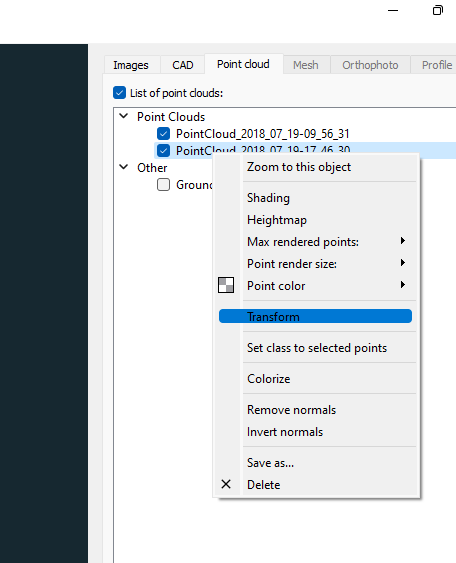
Another option is also to right-click on the point cloud and select "transform":
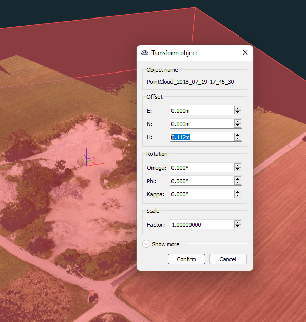
Then the point cloud can be moved for example for 0.3' in the vertical direction:
In version 2.16, a function is coming that will allow calculating 7 parameter transformations between sets of points to fill in the values for this transform tool from the asci file.