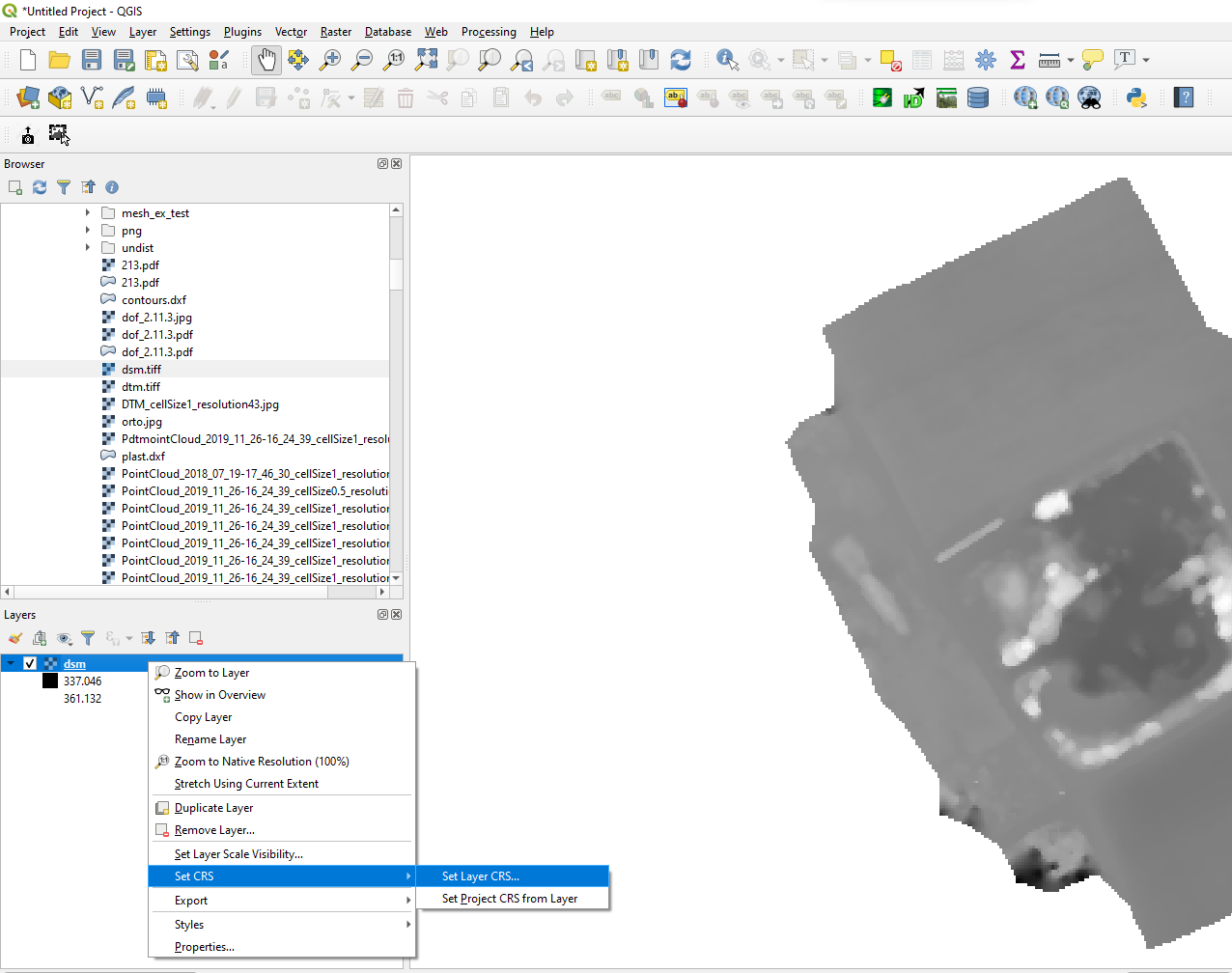
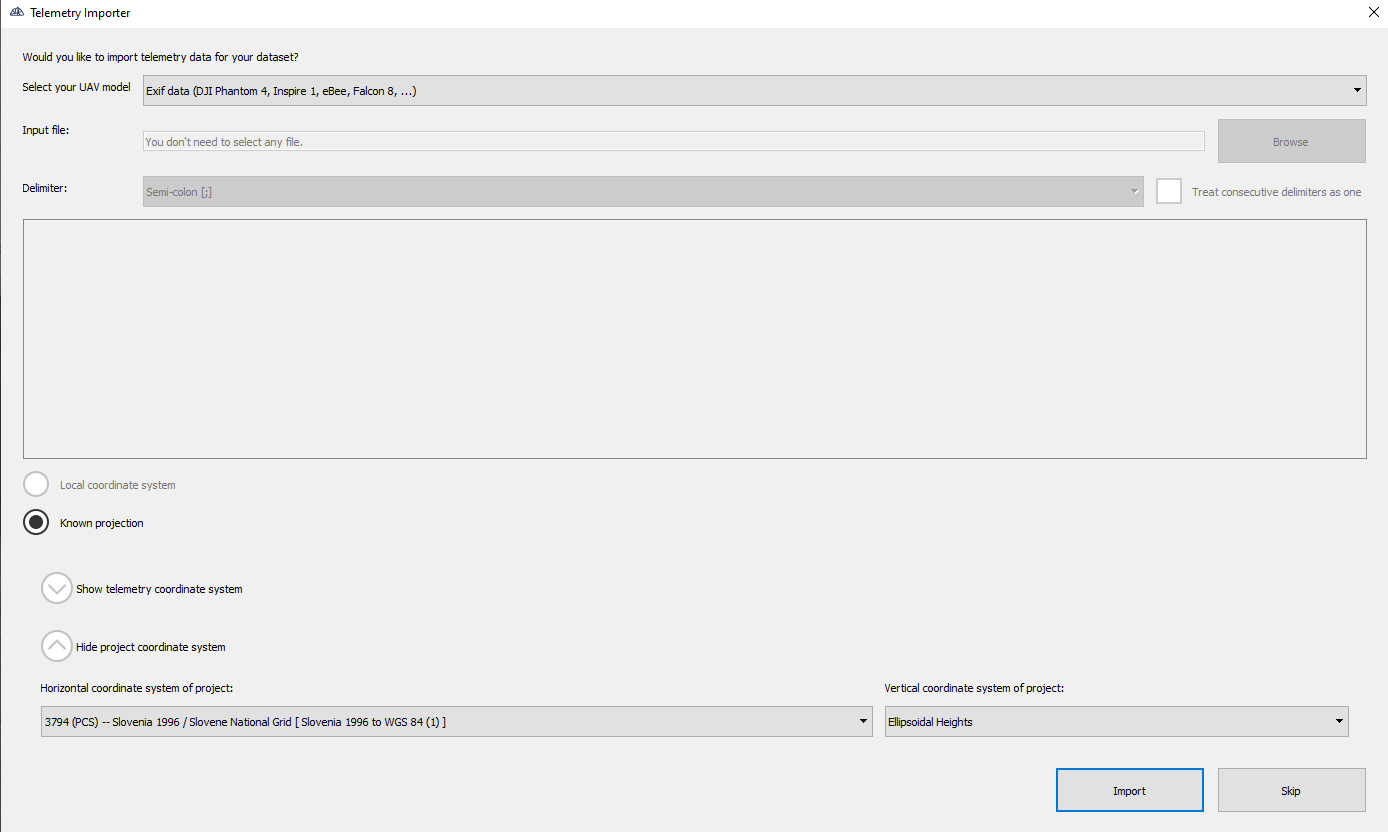
First, when you are loading images you should remember what horizontal coordinate system you are using as you’ll have to state it when setting your coordinate reference system in QGIS. You must also set your project vertical coordinate system to ellipsoidal heights.
When exporting it from QGIS make sure to set DSM coordinate system to the horizontal coordinate system you had to remember and set the output coordinate system to WGS.